ITMB - World Maps - US / Canada border area
Ex VAT (Free UK Delivery Over £125)

| Unit RRP: | £10.00 |
| VAT Rate: | 0% |
| Unit Price (ex. VAT): | £6.20 |
| Unit Price (inc. VAT): | £6.20 |
| Units in Case: | 1 |
| Profit per Unit: | £3.80 |
| Profit per Case: | £3.80 |
| Profit on Return (%): | 38.00% |
| Mark Up (%): | 61.29% |
Calculate Your Profit:
| Profit per Unit: | N/A |
| Profit per Case: | N/A |
| Profit on Return: | N/A |
| Mark Up (%): | N/A |
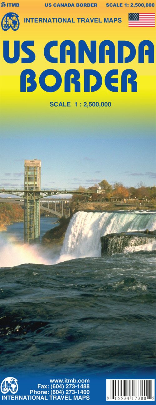
ITMB Map of USA Canada Border - Scale: 1:2,500,000
This map is double-sided and shows the border states and their provincial counterparts, starting with British Columbia and Washington/Idaho/Montana for about 150 miles on either side of the actual border, and carries on eastward through the Prairie/Midwest region, before dipping south to encircle the Great Lakes region, before terminating with New York City at the southern extreme and most of New Brunswick/Maine in the northeast.
The maps shows the region and the highways binding them together with the major cities as insets (Long Island, Boston region, Chicago, Toronto central, Seattle, Vancouver, and Victoria), the many border crossings and the artificiality of the border.
This map spans a continent and follows the route taken by my ancestor, Alexander Mackenzie, who first crossed the continent in 1793 on foot and mapped the routes followed by all settlers heading westward for the next century, including those Johnny-come-latelies Lewis and Clark, who only followed well-trodden trapping routes made by the Northwest Fur Company traders a generation earlier.
| Activity | Touring, Travel |
|---|---|
| Brand | ITMB |
| Continent | North America |
| Country | USA |