ITMB - World Maps - England / Wales
Ex VAT (Free UK Delivery Over £125)

| Unit RRP: | £10.90 |
| VAT Rate: | 0% |
| Unit Price (ex. VAT): | £6.76 |
| Unit Price (inc. VAT): | £6.76 |
| Units in Case: | 1 |
| Profit per Unit: | £4.14 |
| Profit per Case: | £4.14 |
| Profit on Return (%): | 37.98% |
| Mark Up (%): | 61.24% |
Calculate Your Profit:
| Profit per Unit: | N/A |
| Profit per Case: | N/A |
| Profit on Return: | N/A |
| Mark Up (%): | N/A |
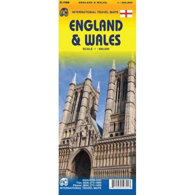
ITMB Map of England & Wales - Scale: 1:580,000
ITMB publishes a map of Great Britain, but each portion of GB needs its own map to show roads and attractions in more detail. This is a brilliant map of both England and Wales, showing the entire 'country' in a double-sided format. The place names index is formidable, but England in particular is a series of little villages, so it has been very difficult to decide what to include and what to leave out. This map is showing motorways, divided carriageways, all A & B highways, railway lines, airports, historic sites and touristic attractions, parks and gardens, and just about everything that we could fit on to the page to provide users with a detailed, usable map. We have been able to fit all of southern England/Wales as far north as Chester/Lincoln on side A and with a little overlap, from those cities north to the well over the Scottish border, up to Perth/Dundee filling side B. The Isle of Man and much of Northern Ireland are included as well as a bonus, with an inset map showing the Channel Islands and another inset showing central London. This is a brilliant map of both England and Wales, showing the entire 'country' in a double-sided format. The place names index is formidable, but England in particular is a series of little villages, so it has been very difficult to decide what to include and what to leave out.
This map is showing motorways, divided carriageways, all A & B highways, railway lines, airports, historic sites and touristic attractions, parks and gardens, and just about everything that we could fir on to the page to provide users with a detailed, usable map. We have been able to fit all of southern England/Wales as fair north as Chester/Lincoln on side A and with a little overlap, from those cities north to the well over the Scottish border, up to Perth/Dundee filling side B.
The Isle of Man and much of Northern Ireland are included as well as a bonus, with an inset map showing the Channel Islands and another in set showing central London. Apologies if we omitted something crucial; please advise. This is a brand new map, replacing the artwork we used in the past. Scotland was done as a double-sided map using the same data base and was released a couple of months ago. This is an excellent map for touring all of England/Wales.
| Activity | Touring, Travel |
|---|---|
| Brand | ITMB |
| Continent | Europe |
| Country | UK |