A-Z Pocket Street Map - Exeter
Ex VAT (Free UK Delivery Over £125)

| Unit RRP: | £3.99 |
| VAT Rate: | 0% |
| Unit Price (ex. VAT): | £2.39 |
| Unit Price (inc. VAT): | £2.39 |
| Units in Case: | 1 |
| Profit per Unit: | £1.60 |
| Profit per Case: | £1.60 |
| Profit on Return (%): | 40.10% |
| Mark Up (%): | 66.95% |
Calculate Your Profit:
| Profit per Unit: | N/A |
| Profit per Case: | N/A |
| Profit on Return: | N/A |
| Mark Up (%): | N/A |
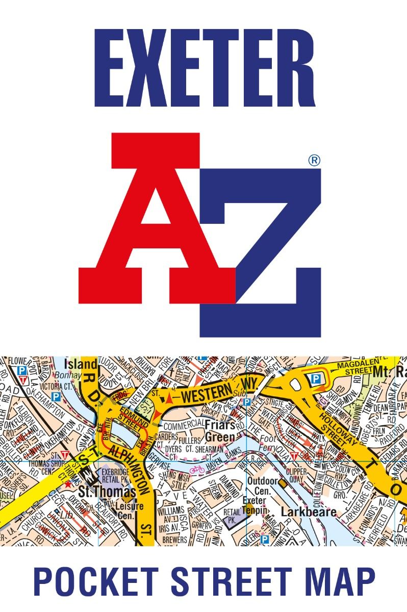
Exeter A-Z Pocket Street Map
Scale: 1 mile to 4.5 inch (1:11,520)
This up-to-date detailed A-Z street map includes over 2,100 streets in and around Exeter. As well as the central area of the University colleges and Cathedral, the other areas covered are Larkbeare, Friars Green, Barnfield, St Thomas and St David’s.
The large scale street map includes the following:
• Large scale 1 mile to 4.5 inch detailed street map
• Places of interest, transport and leisure facilities all located
• Postcode districts, one-way streets and car parks
• Index to more than 2,000 streets, places of interest, place and area names, park and ride sites, national rail stations, hospitals and hospices
• Accurate and up-to-date map in the trusted A-Z mapping style
The perfect reference map for finding your way around Exeter.
| Series | Street Atlas |
|---|---|
| Activity | Driving |
| Brand | A-Z |
| Continent | Europe |
| Country | England |
| Region | Devon |