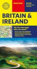
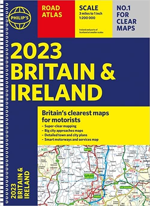
Philips Road Atlas Britain & Ireland - Spiral
Ex VAT (Free UK Delivery Over £125)


| Unit RRP: | £15.99 |
| VAT Rate: | 0% |
| Unit Price (ex. VAT): | £9.59 |
| Unit Price (inc. VAT): | £9.59 |
| Units in Case: | 1 |
| Profit per Unit: | £6.40 |
| Profit per Case: | £6.40 |
| Profit on Return (%): | 40.03% |
| Mark Up (%): | 66.74% |
Calculate Your Profit:
| Profit per Unit: | N/A |
| Profit per Case: | N/A |
| Profit on Return: | N/A |
| Mark Up (%): | N/A |
Philips Essential Road Atlas Britain and Ireland
This mid-format atlas features fully updated maps from the Philip's digital database, which has been voted Britain's clearest and most detailed in an independent consumer survey, and includes speed-camera locations with their speed limits.
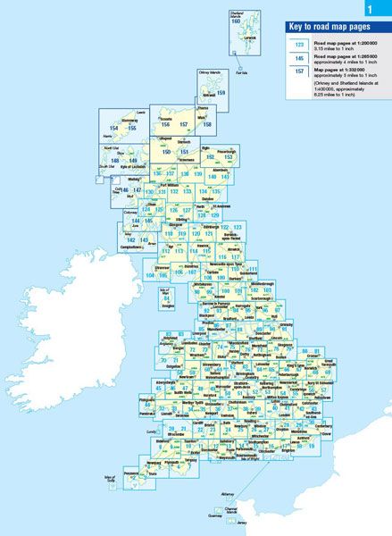
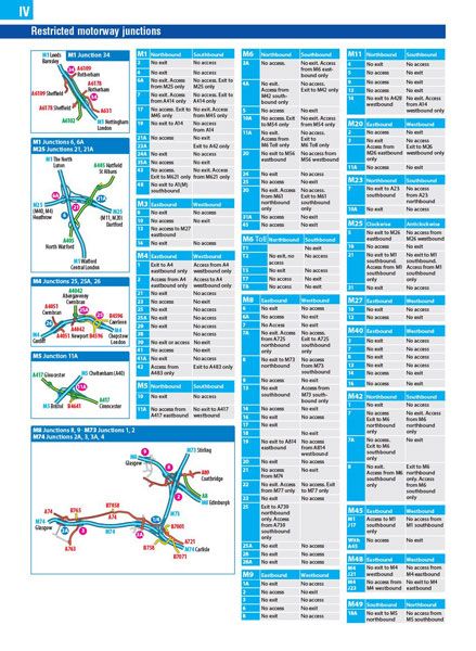
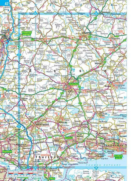
Philip's Essential Road Atlas Britain and Ireland contains 160 pages of road maps covering Britain at 3 miles to 1 inch = 1:200,000 with the Western Isles, Orkney and Shetland at smaller scales. The maps clearly mark service areas, roundabouts and multi-level junctions, and in rural areas distinguish between roads over and under 4 metres wide - a boon for drivers of wide vehicles.
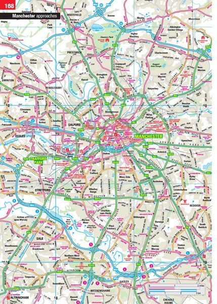
The atlas also includes 10 pages of route-planning maps, a distance table, 4 large-scale city approach maps with named arterial roads, and 32 extra-detailed town and city plans.
| Series | Navigator |
|---|---|
| Activity | Driving, Travel |
| Brand | PHILIPS |
| Continent | Europe |
| Country | England, Ireland, N.Ireland, Scotland, UK, Wales |