Philips Navigator Atlas - Britain
SKU
PHN6
Trade Price
£19.99
Ex VAT (Free UK Delivery Over £125)
Ex VAT (Free UK Delivery Over £125)
number left in stock2


| Unit RRP: | £19.99 |
| VAT Rate: | 0% |
| Unit Price (ex. VAT): | £19.99 |
| Unit Price (inc. VAT): | £19.99 |
| Units in Case: | 1 |
| Profit per Unit: | £0.00 |
| Profit per Case: | £0.00 |
| Profit on Return (%): | 0.00% |
| Mark Up (%): | 0.00% |
Calculate Your Profit:
| Profit per Unit: | N/A |
| Profit per Case: | N/A |
| Profit on Return: | N/A |
| Mark Up (%): | N/A |
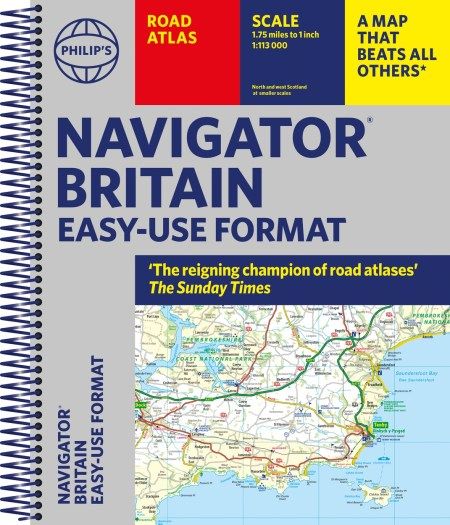
Scale 1:113,000
Philip's street atlases show every street in England, Wales and most of Scotland.
These detailed, comprehensive and highly successful street atlases are ideal for motoring, business and leisure use. They are widely used by the emergency services, professional drivers and local authorities throughout Britain.
There are currently 70 titles in the Street Atlas series, all containing mapping based on the latest authoritative data from Ordnance Survey and enhanced to Philip’s exacting specifications. Each atlas is available in a handy spiral-bound format and provides complete regional coverage at extra-large scales.
The mapping is at a scale of 1 inch to 1.75 miles and features every named road, street and lane, with time-saving through routes highlighted in urban areas. Schools, colleges, public buildings, sports and leisure facilities, hospitals, police stations, railway stations, industrial estates and shopping centres as well as rural features such as woods, farms, hills, rivers, landmarks are marked and named. Each atlas includes a comprehensive index complete with postcodes.| Series | Navigator |
|---|---|
| Activity | Driving, Touring, Travel |
| Brand | PHILIPS |
| Country | UK |
Write Your Own Review
We found other products you might like!