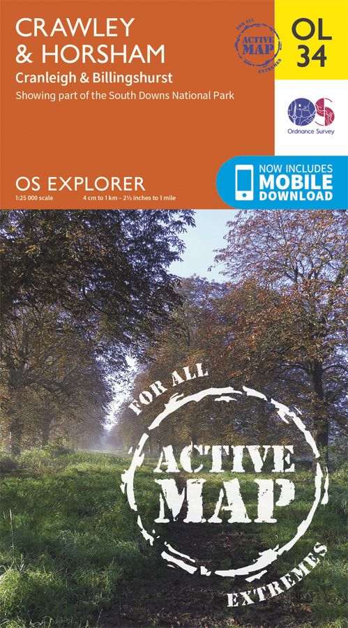
OS Explorer Active - 34 - Crawley & Horsham
Ex VAT (Free UK Delivery Over £125)


| Unit RRP: | £16.99 |
| VAT Rate: | 0% |
| Unit Price (ex. VAT): | £9.34 |
| Unit Price (inc. VAT): | £9.34 |
| Units in Case: | 1 |
| Profit per Unit: | £7.65 |
| Profit per Case: | £7.65 |
| Profit on Return (%): | 45.03% |
| Mark Up (%): | 81.91% |
Calculate Your Profit:
| Profit per Unit: | N/A |
| Profit per Case: | N/A |
| Profit on Return: | N/A |
| Mark Up (%): | N/A |
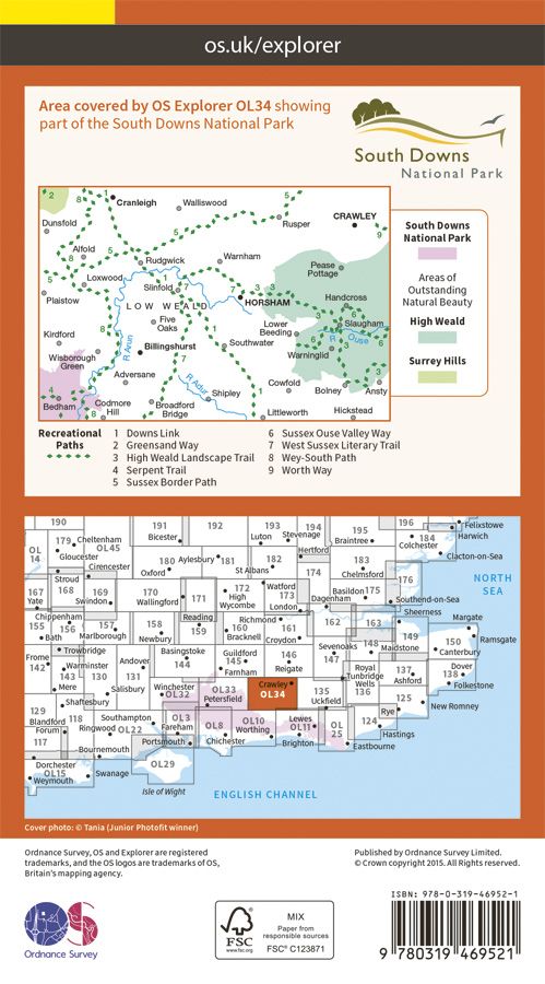
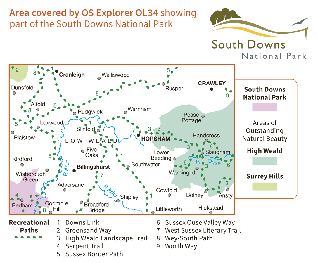
OL34 - Crawley & Horsham areas Explorer Active Map
1:25 000 scale (4 cm to 1 km – 2.5 inches to 1 mile) The essential map for outdoor activities.
OS Explorer Map is the Ordnance Survey’s most detailed folding map and is recommended for anyone enjoying outdoor activities including walking, horse riding and off-road cycling. Providing complete GB coverage, the OS Explorer map series details information essential in the great outdoors, including youth hostels, pubs and visitor information. Rights of way, fences, permissive paths and bridleways are clearly shown, ensuring you have the best information to get the most out of your time in the countryside.
Customers can now discover the landscape in all weathers thanks to OS Explorer Map
– Active, a tough, versatile version of the OS Explorer map.
OL34 Crawley & Horsham areas featuring :-
- Sussex Border Path
- Greensand Way
- Wey-South Path
- Worth Way (West Sussex)
- Downs Link
- High Weald Landscape Trail
- Surrey
- West Sussex
- Crawley
- Horsham
| Series | Explorer Active Maps |
|---|---|
| Scale | 1:25,000 |
| Activity | Cycling, Horse Riding, Orienteering, Walking |
| Brand | OS |
| Continent | Europe |
| Country | England, UK |
| Region | Sussex |