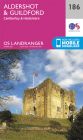
OS Landranger - 176 - West London, Rickmansworth
Ex VAT (Free UK Delivery Over £125)


| Unit RRP: | £12.99 |
| VAT Rate: | 0% |
| Unit Price (ex. VAT): | £7.14 |
| Unit Price (inc. VAT): | £7.14 |
| Units in Case: | 1 |
| Profit per Unit: | £5.85 |
| Profit per Case: | £5.85 |
| Profit on Return (%): | 45.03% |
| Mark Up (%): | 81.93% |
Calculate Your Profit:
| Profit per Unit: | N/A |
| Profit per Case: | N/A |
| Profit on Return: | N/A |
| Mark Up (%): | N/A |
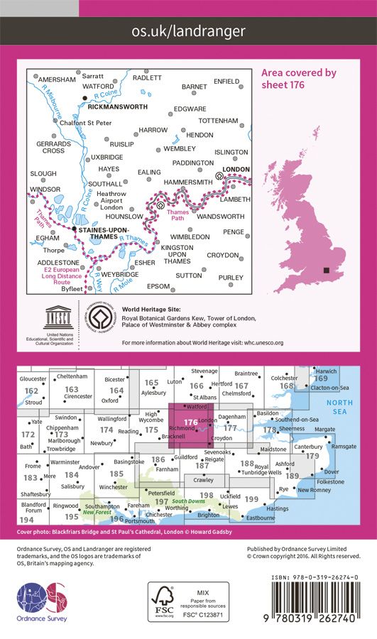
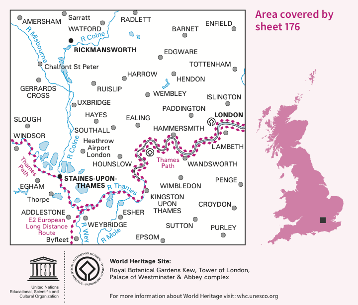
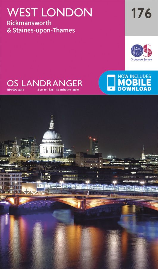
176 West London, Rickmansworth & Staines Landranger Map
1:50,000 scale
2 cm to 1 km or 1¼ inches to 1 mile
The OS Landranger Map is the ideal map for planning the perfect day out. Whether visiting town or country, a wealth of visitor attractions, including National Trust properties, museums, gardens, golf courses and castles, are illustrated. The 1:50k scale mapping provides an ideal compromise between detail and coverage whilst still retaining topographical and contour properties.
176 West London, Rickmansworth & Staines featuring:
Thames Path Vanguard Way
Ver-Colne Valley Walk South Bucks Way Chess Valley Walk Three Castles Path
Colne Valley Way (short, but retain as strategic
link)
Grand Union Canal Walk
Lea Valley Walk (Remove from mapping) Beeches Way
Old Shire Lane Circular Walk Chain Walk
Thames Down Link Green Chain Walk Dog Rose Ramble Brent River Park Walk Colne Valley Trail Hillingdon Trail
Dollis Valley Greenwalk Pymmes Brook Trail London Loop (Guide Book) Hertfordshire Way
New River Path
OS Landranger map features include:
• Roads, railways and ferry routes
• Paths, national trails and cycle routes
• National Trust areas
• Forestry Commission land
• National Parks
• Tourist information and places of interest
• Camping and caravan sites
• Picnic areas and viewpoints
• Rights-of-way information for England and Wales.
This series features 204 maps each covering 40km x 40km (25 miles x 25 miles)
How to access the digital version of this map
This map comes with a digital version which you can download to your smartphone or tablet.
Go to OS.uk/redeem for more details (terms and conditions apply).
Scratch off the panel on the inside cover of the map to reveal a code, you are then just three easy steps away from downloading your digital map.
If the scratch panel has already been scratched off or if you have any problems downloading your map, please call the OS Customer Service Centre on 03456 050505.
| Series | Landranger Maps |
|---|---|
| Scale | 1:50,000 |
| Activity | Cycling, Horse Riding, Walking |
| Brand | OS |
| Continent | Europe |
| Country | England, UK |
| Region | Greater London |