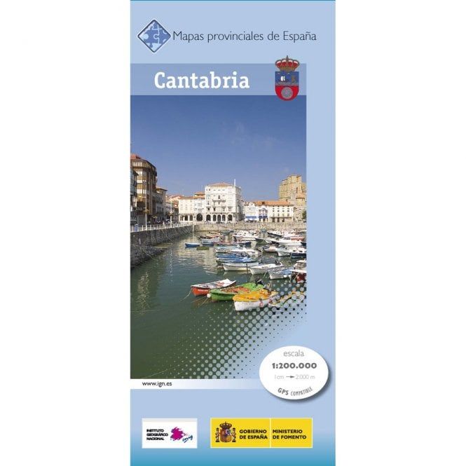
CNIG Spanish Provincial Road Maps (1:200k) - Cantabria
Ex VAT (Free UK Delivery Over £125)


| Unit RRP: | £6.95 |
| VAT Rate: | 0% |
| Unit Price (ex. VAT): | £4.45 |
| Unit Price (inc. VAT): | £4.45 |
| Units in Case: | 0 |
| Profit per Unit: | 0 |
| Profit per Case: | £2.50 |
| Profit on Return (%): | 35.97% |
| Mark Up (%): | 56.18% |
Calculate Your Profit:
| Profit per Unit: | N/A |
| Profit per Case: | N/A |
| Profit on Return: | N/A |
| Mark Up (%): | N/A |
CNIG Spanish Departments - Cantabria
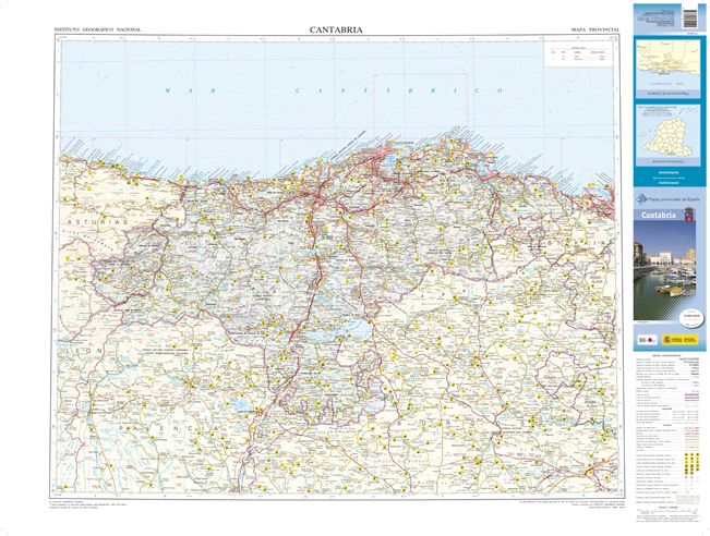
Map of the province of Cantabria.UTM projection.Scale: 1:200,000
The 200K Provincial series from CNIG (The Centro Nacional de Información Geografica) maps provide an excellent picture the topography through contours at 100m intervals enhanced by relief shading, spot heights and colouring for various types of vegetation, plus show national and natural parks. Road network, graded into seven types, includes minor local roads and tracks often not shown on other road maps. Railways indicate high speed, double and single track lines. In each title all the information continues outside the provincial boundary, with contours but without the relief shading and vegetation colouring. Unless indicated to the contrary in the title’s individual description, all the maps now have a range of icons prominently highlighting various places of interest: cultural and historical heritage, paradors and campsites, sport and recreational facilities, etc. The maps have a 20km UTM grid, plus latitude and longitude margin ticks at 15' intervals, and an index of place names on the reverse. Map legend is in Spanish only.
Dimensions of the unfolded map: 100 x 75cm
GPS-compatible
| Series | CNIG Spanish Departments |
|---|---|
| Brand | CNIG |
| Country | Spain |