AA - Road Atlas - Britain 2024
Ex VAT (Free UK Delivery Over £125)


| Unit RRP: | £8.99 |
| VAT Rate: | 0% |
| Unit Price (ex. VAT): | £2.00 |
| Unit Price (inc. VAT): | £2.00 |
| Units in Case: | 1 |
| Profit per Unit: | £6.99 |
| Profit per Case: | £6.99 |
| Profit on Return (%): | 77.75% |
| Mark Up (%): | 349.50% |
Calculate Your Profit:
| Profit per Unit: | N/A |
| Profit per Case: | N/A |
| Profit on Return: | N/A |
| Mark Up (%): | N/A |
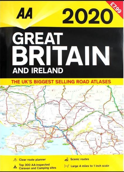
AA Road Atlas Britain
(4 miles to 1 inch scale)
The UK's most up-to-date road atlases. This A3 format atlas provides clear mapping at 4 miles to 1 inch scale, covering Britain and Ireland.
Features:
- Top 300 AA-inspected caravan and camping sites
- Over 1,800 golf courses
- Mapping for the whole of Ireland included
Content:
This A3 format road atlas provides clear, easy to use mapping from the experts at the AA. The scale of the atlas provdes a high level of detail across a good area size on each page.
Wide minor roads (more than and less than 4m wide), National Trust, English and World Heritage, crematorium locations and other hard-to-find places are also shown.
Included is a detailed map of the M25 London Orbital motorway and a comprehensive index with airports, top tourist sites and motorway services listed. Plus, scenic routes, tourist sites and caravan and camping sites symbolised on the mapping.
| Series | Road Atlases |
|---|---|
| Activity | Driving, Touring, Travel |
| Brand | AA |
| Continent | Europe |
| Country | England, Ireland, N.Ireland, Scotland, UK, Wales |