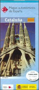
CNIG Spanish Autonomous Region Series Map - Catalunia
Ex VAT (Free UK Delivery Over £125)


| Unit RRP: | £7.99 |
| VAT Rate: | 0% |
| Unit Price (ex. VAT): | £5.11 |
| Unit Price (inc. VAT): | £5.11 |
| Units in Case: | 0 |
| Profit per Unit: | 0 |
| Profit per Case: | £2.88 |
| Profit on Return (%): | 36.05% |
| Mark Up (%): | 56.36% |
Calculate Your Profit:
| Profit per Unit: | N/A |
| Profit per Case: | N/A |
| Profit on Return: | N/A |
| Mark Up (%): | N/A |
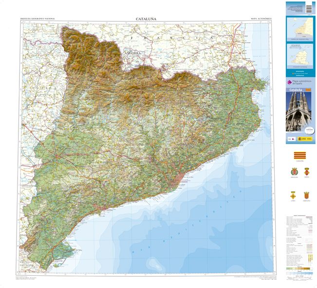
CNIG Spanish Departments - Catalunia
Map of the autonomous region of Catalunia, with hypsometric coloring and relief shading.UTM projection.Scale; 1:300,000
These physical road maps are produced by IGN/CNIG - the country’s civilian survey organization. Relief shading is enhanced by bright altitude colouring, with plenty of names of mountain ranges, peaks, etc, plus additional spot heights. Boundaries of national and natural parks are marked. Topographic colouring does not continue beyond the region’s administrative boundary, although the road network and other information are included.
The maps show the regional road network, from toll motorways to local country tracks, railways and local airports or aerodromes. Symbols highlight locations of paradors, ski areas, monasteries and other historical monuments, etc. The maps also show administrative boundaries of provinces within each region and town symbols indicate their administrative status and the number of inhabitants.
The maps have a UTM grid, plus 1’ latitude and longitude margin ticks.
Map legend is in Spanish only
Dimensions of the unfolded map: 100 x 139,5 cm.
| Series | CNIG Spanish Departments |
|---|---|
| Brand | CNIG |
| Country | Spain |