A-Z Street Atlas - Greater Manchester
Ex VAT (Free UK Delivery Over £125)

| Unit RRP: | £14.99 |
| VAT Rate: | 0% |
| Unit Price (ex. VAT): | £8.99 |
| Unit Price (inc. VAT): | £8.99 |
| Units in Case: | 1 |
| Profit per Unit: | £6.00 |
| Profit per Case: | £6.00 |
| Profit on Return (%): | 40.03% |
| Mark Up (%): | 66.74% |
Calculate Your Profit:
| Profit per Unit: | N/A |
| Profit per Case: | N/A |
| Profit on Return: | N/A |
| Mark Up (%): | N/A |
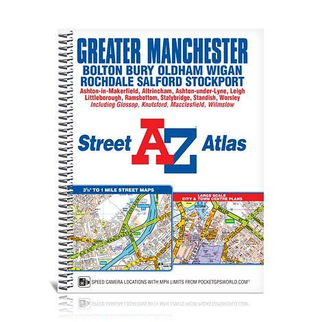
A-Z Street Spiral Atlas - Greater Manchester
Scale: 3.3 inches to 1 mile
This spiral bound map of Greater Manchester includes coverage of:
• Manchester
• Bolton
• Bury
• Oldham
• Wigan
• Rochdale
• Salford
• Stockport
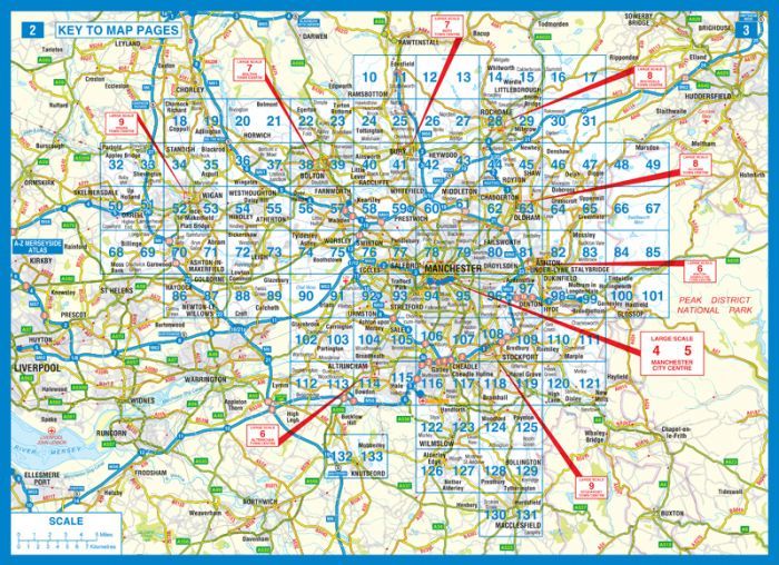
The atlas includes 124 street map pages which extend to include:
• Ashton-in-Makerfield
• Altrincham
• Ashton-under-Lyne
• Cheadle
• Knutsford
• Leigh
• Littleborough
• Macclesfield
• Ramsbottom
• Stalybridge
• Standish
• Wilmslow
There are large scale city and town centre maps of Manchester, Altrincham, Ashton-under-Lyne, Bolton, Bury, Oldham, Rochdale, Stockport and Wigan.
Postcode districts, one-way streets, safety camera locations with speed limits and National Park boundaries are also featured on the mapping.
Also included are:
• a postcode map of the Greater Manchester area
• a road map of the Greater Manchester area
• a Metrolink Map
The index section lists streets; selected flats, walkways and places of interest; place and area names; National Rail and Metrolink stations. There is a separate list of hospitals, hospices and NHS Walk-in Centres covered by the atlas.
| Series | Street Atlas |
|---|---|
| Activity | Driving |
| Brand | A-Z |
| Continent | Europe |
| Country | England |
| Region | Greater Manchester |