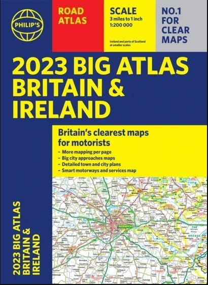
Philips Big Road Atlas Britain & Ireland - A3 NON Spiral
Ex VAT (Free UK Delivery Over £125)


| Unit RRP: | £11.99 |
| VAT Rate: | 0% |
| Unit Price (ex. VAT): | £11.99 |
| Unit Price (inc. VAT): | £11.99 |
| Units in Case: | 1 |
| Profit per Unit: | £0.00 |
| Profit per Case: | £0.00 |
| Profit on Return (%): | 0.00% |
| Mark Up (%): | 0.00% |
Calculate Your Profit:
| Profit per Unit: | N/A |
| Profit per Case: | N/A |
| Profit on Return: | N/A |
| Mark Up (%): | N/A |
Philips Motorist's Road Atlas Britain and Ireland - Paperback A3
Philip's Motorist's Road Atlas Britain and Ireland is a large-format paperback atlas featuring fully updated maps from the Philip's digital database, which has been voted Britain's clearest and most detailed in an independent consumer survey.
This A3 atlas contains fully updated maps from the Philip's digital database and includes speed-camera locations with their speed limits.
Philip's Motorist's Road Atlas Britain and Ireland contains 96 pages of road maps covering Britain at 3 miles to 1 inch (Scottish Highlands and Western Isles at 4 miles to 1 inch, Orkney and Shetland at 5.25 miles to 1 inch). The maps clearly mark service areas, roundabouts and multi-level junctions, and in rural areas distinguish between roads over and under 4 metres wide - a boon for drivers of wide vehicles.
The atlas also includes 6 pages of route-planning maps, a distance table, 16 large-scale city approach maps with named arterial roads, and 64 extra-detailed town and city plans.
| Series | Philips Atlas |
|---|---|
| Activity | Driving, Travel |
| Brand | PHILIPS |
| Continent | Europe |
| Country | Ireland, UK |