OS ROI Adventure Series Map - The Aran Islands - Oileáin Árann
Ex VAT (Free UK Delivery Over £125)


| Unit RRP: | £16.99 |
| VAT Rate: | 0% |
| Unit Price (ex. VAT): | £10.19 |
| Unit Price (inc. VAT): | £10.19 |
| Units in Case: | 1 |
| Profit per Unit: | £6.80 |
| Profit per Case: | £6.80 |
| Profit on Return (%): | 40.02% |
| Mark Up (%): | 66.73% |
Calculate Your Profit:
| Profit per Unit: | N/A |
| Profit per Case: | N/A |
| Profit on Return: | N/A |
| Mark Up (%): | N/A |
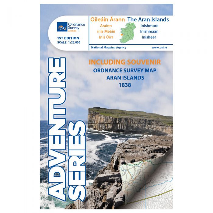
OS Adventure Series - The Aran Islands - Oileáin Árann
Scale 1:25,000
The Adventure Series is an activity oriented map which shows detailed landscape information, like rivers, lakes, contours, bogs, tracks and other physical features. It provides detailed mapping in specific locations for the outdoor enthusiast such as mountaineers, hill walkers, cyclists and other users of the Irish countryside.The Series is printed on Water Resistant Paper for greater durability.
This map is in County Galway shows the three principal islands; Inis Oírr, Inis Meáin, and the largest one, Árainn. A number of small villages are shown here; Cill Mhurbhigh, Cill Rónáin, and An Lorgain. A ferry service operates between the islands, and from the mainland from Galway, Doolin, and Rossaveel. This map displays three airstrips, one on each of the three islands.
There are small streams and lakes scattered around the islands, the biggest being An Loch Mór, on Inis Oírr. There are a few small beaches on the northern coasts, and on the other side there are high cliffs facing the Atlantic Ocean.
The Aran islands are a major tourist centre and a cultural treasure, rich in Irish language, history and traditional music. This map helps the visitor to explore the rugged landscape, and visit many interesting sites, including Dún Eochla, Dún Chonchúir, and the cliff fort of Dún Aonghusa.
| Series | OSI Adventure Series |
|---|---|
| Scale | 1:25,000 |
| Activity | Cycling, Horse Riding, Walking |
| Brand | OS |
| Continent | Europe |
| Country | Ireland |