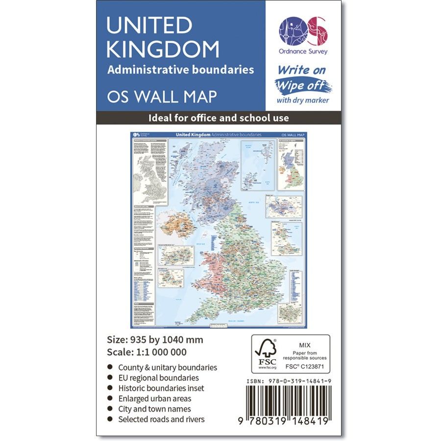
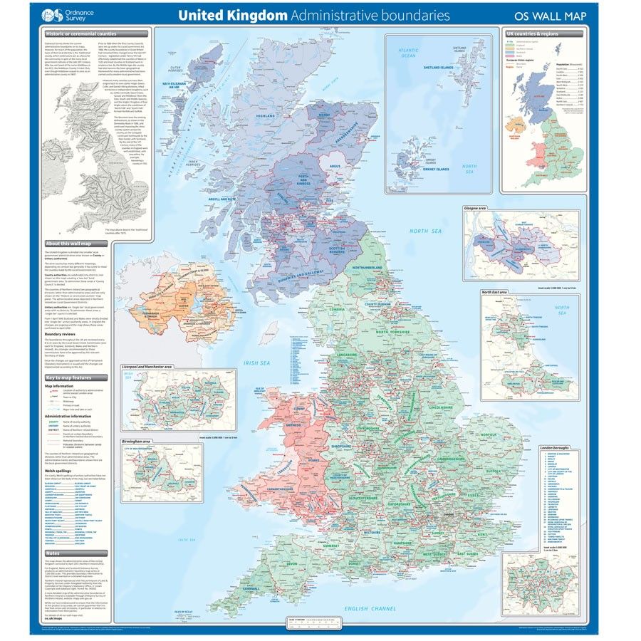
OS Wall Map - Administrative Boundaries Map Of The UK
SKU
OSWALL1
RRP
£11.99
Trade Price
£7.19
Ex VAT (Free UK Delivery Over £125)
Profit £4.80 (40.03%)
Ex VAT (Free UK Delivery Over £125)
number left in stock2


| Unit RRP: | £11.99 |
| VAT Rate: | 0% |
| Unit Price (ex. VAT): | £7.19 |
| Unit Price (inc. VAT): | £7.19 |
| Units in Case: | 1 |
| Profit per Unit: | £4.80 |
| Profit per Case: | £4.80 |
| Profit on Return (%): | 40.03% |
| Mark Up (%): | 66.76% |
Calculate Your Profit:
| Profit per Unit: | N/A |
| Profit per Case: | N/A |
| Profit on Return: | N/A |
| Mark Up (%): | N/A |
OS Wall Map - Administrative Boundaries Map Of The UK
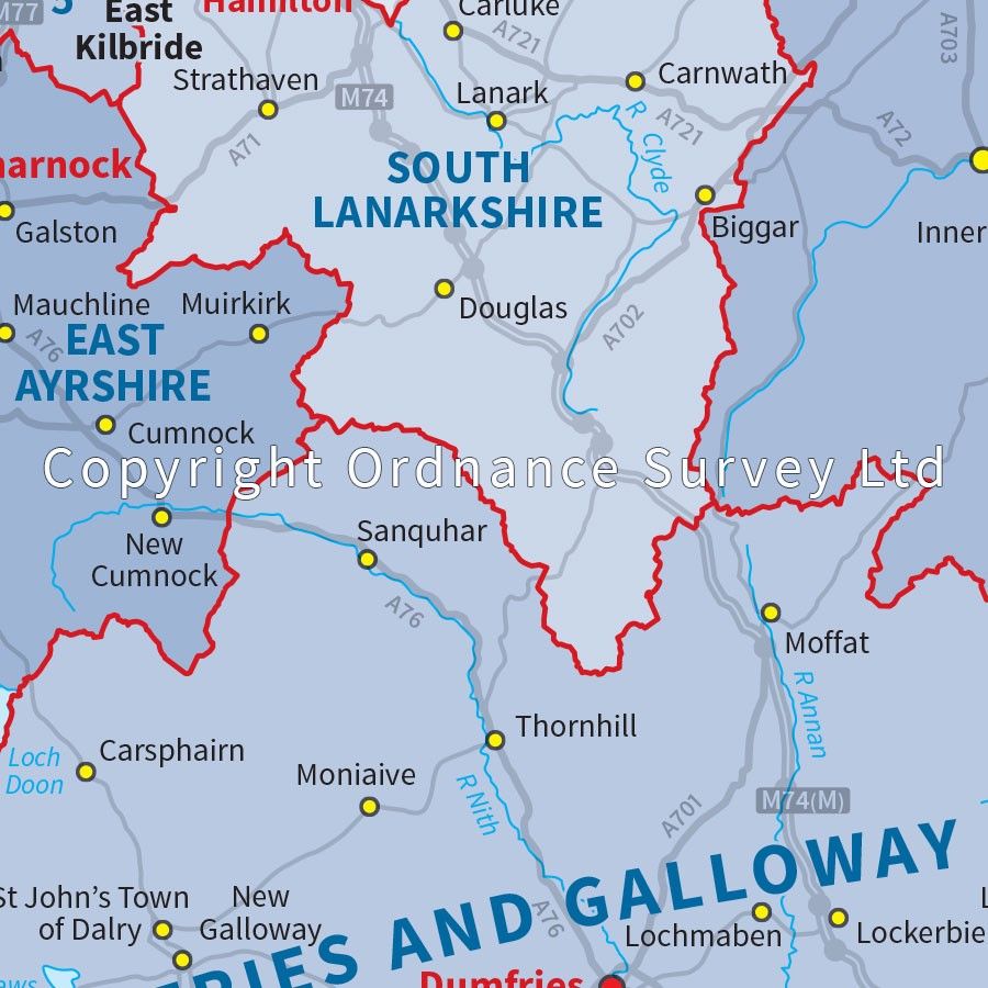
This wall map shows the National, County and Unitary Authority administrative boundaries in the United Kingdom. There is also an insert showing the historical counties and the UK regions. This wall map is ideal for students, businesses or for decoration
Supplied flat, rolled in a storage tube for storage. This map is gloss coated, so can be used with dry-wipe pens.
Specifications:
Scale: 1 cm to 10 km
Gloss coated
Physical size: 935 x 1040 mm (37 x 41 inches)
| Series | OS Wall Maps |
|---|---|
| Brand | OS |
| Continent | Europe |
| Country | UK |
Write Your Own Review