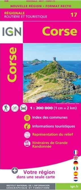
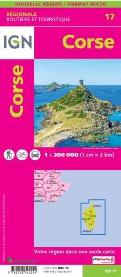
IGN Regional - Corse
Ex VAT (Free UK Delivery Over £125)


| Unit RRP: | £8.50 |
| VAT Rate: | 0% |
| Unit Price (ex. VAT): | £5.31 |
| Unit Price (inc. VAT): | £5.31 |
| Units in Case: | 1 |
| Profit per Unit: | £3.19 |
| Profit per Case: | £3.19 |
| Profit on Return (%): | 37.53% |
| Mark Up (%): | 60.08% |
Calculate Your Profit:
| Profit per Unit: | N/A |
| Profit per Case: | N/A |
| Profit on Return: | N/A |
| Mark Up (%): | N/A |
1 cm to 2.5 km or 1 inch to 4 miles
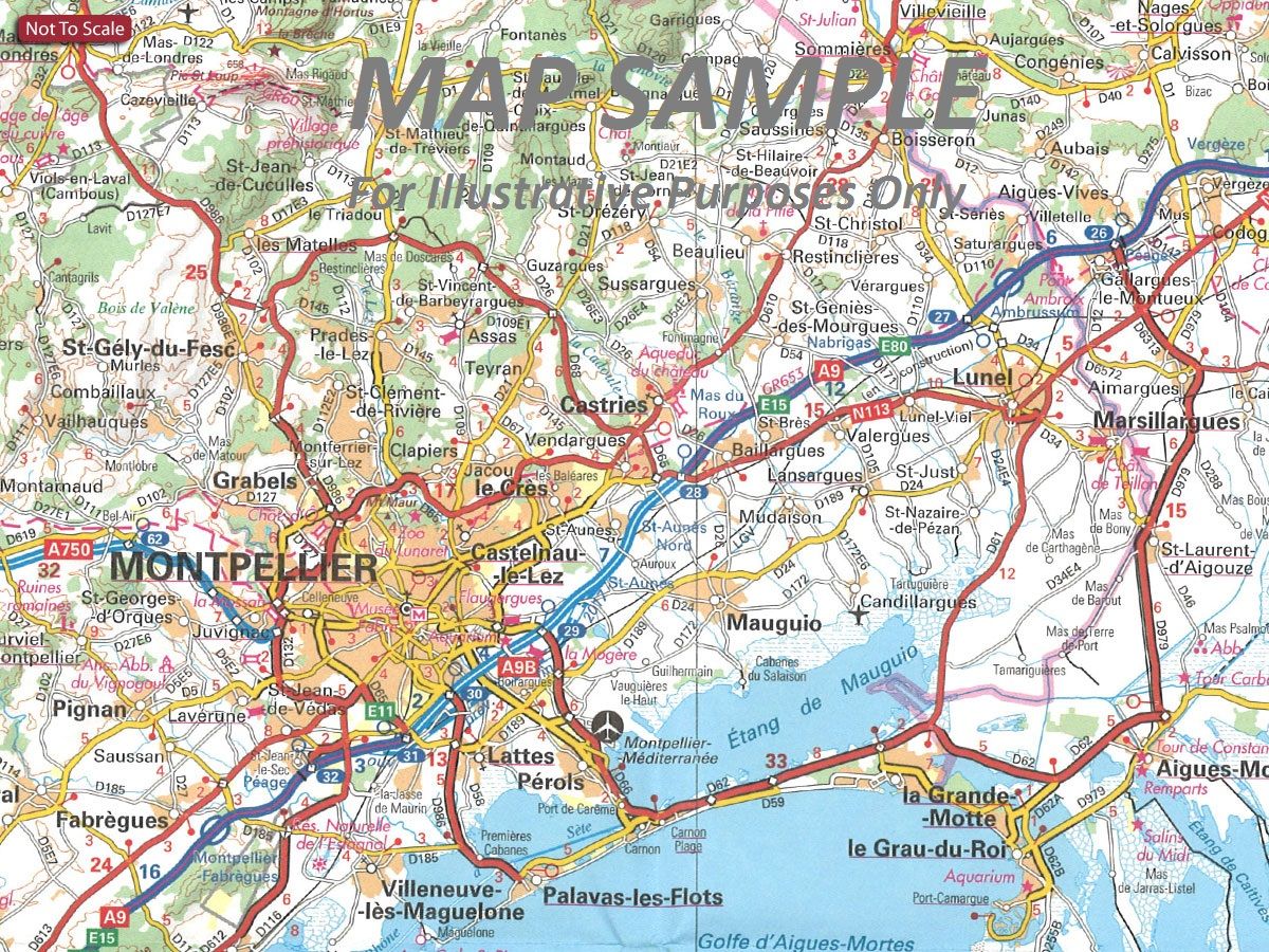
IGN's annually updated regional touring map series of France at 1:250,000 scale with tourist information. This series is designed to provide a large coverage road map with tourist key information with the added benefit enlargements for environs of main cities. National, Regional, and minor roads are detailed along with clearly defined motorways with junctions clearly marked to provide superior clarity.
The IGN regional touring maps also illustrate toll sections and gate locations, services and rest areas, plus locations of fixed speed cameras as well as physical features such as railway networks with stations and local stops, and non physical features including departmental and regional administrative boundaries.
Towns of particular tourist interest are highlighted and a wide range of symbols mark locations of various places of interest, including chateaux and castles, cathedrals and churches, viewpoints, interesting natural features, nature reserves, etc. National and regional parks are prominently marked.
IGN Regional touring map features include:
- GPS co-ordinates included
- Map legend includes English
- Tourist symbols and places of interest marked
- All motorways, tolls, major and minor roads
- Include enlargements for environs of main cities
- Topography shown by relief shading
- Index lists main towns in the region
Rhone Valley and R21 - the Loire Valley are are updated as required rather than annually and include street plans of main cities rather than enlargements of their surrounding area.
IGN (Institut Geographique National) is the official mapping agency of the nation providing accurate, reliable and detailed geographic information of the French landscape and is now a name now synonymous with outdoor leisure activities and navigation in Europe.
| Series | France Regional |
|---|---|
| Activity | Touring, Travel |
| Brand | IGN |
| Continent | Europe |
| Country | France |
| Region | Languedoc - Roussillon |